If you've been tracking land developments on the northern edge of Bengaluru, one name keeps surfacing in every conversation—Dr. Shivarama Karanth Layout. Sprawling across roughly 3,300 acres and involving close to 16 villages, this BDA-developed layout is one of the most ambitious residential plot projects the city has seen in over a decade.
Buyers, farmers, and investors are all trying to make sense of this massive layout: where it begins, where it ends, which sector is where, and what each parcel sits on. Because the stakes are so high, pulling detailed property reports bangalore is the only way to navigate this complex web of allocations and farmer shares safely. This guide breaks it all down.
Dr. Shivarama Karanth Layout sits in the rapidly growing Yelahanka belt of North Bengaluru, with connectivity touching three major arterial roads:
This triangular reach between three growth corridors is what makes the layout so strategically interesting. Whether you're commuting toward Hebbal, the airport, or central Yelahanka, the layout has a road outlet in your direction.
The total area covers approximately 3,300 acres—making it one of the largest BDA layouts ever planned in Bengaluru. For context, that's bigger than several established neighbourhoods combined.
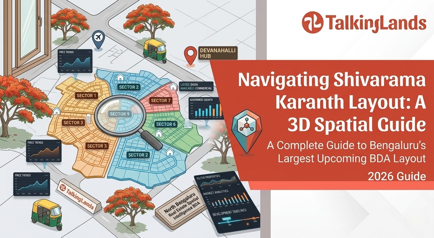
To manage development across this scale, the BDA has divided the layout into nine distinct sectors, each carved out of land contributed by multiple revenue villages.

Here's a sector-by-sector breakdown of the villages that fall within each—highly useful when you're verifying survey numbers or trying to locate a specific plot:
(The 16 Villages: Avalahalli, Byalakere, Ganigarahalli, Goniagrahara, Harohalli, Jakkasandra Kaval, Kallathammanahalli, Kempanahalli, Kempapura, Lakshmipura, Meesaganahalli, Ramagondanahalli, Shashetti, Shyamarajapura, Venkatala, Veerasagara. If your land share falls under any of these, it's likely part of this BDA development.)
A few things are converging that make this the exact moment to pay attention:

A 3,300-acre layout overlapping 16 villages isn't a simple due-diligence exercise. Before committing to any plot—whether a farmer share or a BDA allotted site—here are the essentials to verify:
This is the kind of analysis where a plot-by-plot review pays for itself many times over. Generic information only goes so far when you are dealing with 16 overlapping villages.
TalkingLands Insights allows you to run this exact analysis. By pulling highly detailed property reports bangalore, you can verify boundary safety for a plot near forest land, figure out which sector your inherited share falls under, and understand if a site offered to you is genuinely allotted.
Buying into Dr. Shivarama Karanth Layout is a massive opportunity, but it requires pinpoint accuracy. A slight miscalculation in survey numbers could land you in a reserved zone or a forest buffer.
Treat your due diligence seriously. Look at your specific parcel against the right datasets, verify the sector alignments, and ensure the allotment is genuine. That is what smart investing in North Bengaluru looks like.

1. Where exactly is Dr. Shivarama Karanth Layout located?The layout is situated in the Yelahanka belt of North Bengaluru. It is strategically bordered by the Yelahanka-Doddaballapura Main Road, Thanisandra Main Road, and Hesaraghatta Main Road.
2. How large is the layout and how is it divided?It spans approximately 3,300 acres, making it one of the largest BDA layouts in the city. It encompasses land from 16 different revenue villages and is divided into 9 distinct sectors for development.
3. What is a "farmer share" in a BDA layout?When the BDA acquires land from farmers to build a layout, they often compensate the landowners by giving them a percentage of the developed plots. These "farmer shares" are fully legal to buy and sell, and often enter the market before standard BDA allotments.
4. Why is it important to check the village classification before buying a plot?Because the layout spans 16 different villages, each parcel has its own historical land-use record. Some villages sit closer to forest land or ecological buffer zones where construction is strictly prohibited. Checking the specific village and survey number ensures your plot is legally viable for building.
5. How do I verify if a plot is genuinely allotted?You must cross-reference the plot's survey number and sector alignment with official BDA notifications. It is crucial to ensure that the plot is not sitting on land still under reservation or entangled in acquisition litigation.

.png)
.png)
.png)
