%20(1)%20(1).png)
Shifting Bangalore's Real Estate Gravity
For the last two decades, the narrative of Bangalore real estate has been obsessively pointed East toward Whitefield and South toward Electronic City. In 2026, that narrative is officially dead. The Eastern corridors are saturated, gridlocked, and ecologically exhausted.
The institutional money, the global capability centers (GCCs), and the state government's heavy machinery have violently pivoted to the Northwest.
The catalyst? KWIN City (Knowledge, Wellbeing, Innovation, and Research City).
Located strategically along the Doddaballapur–Dabaspet–Nelamangala corridor, this is not just another standard IT park that empties out at 6:00 PM. It is a 5,800-acre, ₹48,000 crore mega-city designed to house global universities, deep-tech AI incubators, and life-science research hubs. The momentum is undeniable—Toyota Kirloskar Motor recently executed a massive ₹1,200 crore MoU to establish a 300-acre "BizIntel Hub" right in the heart of phase one.
Because of this, the KWIN city master plan is currently the most searched real estate term in Karnataka.
Retail investors are panicking to secure land in the vicinity, terrified of missing the next "Outer Ring Road" boom. Brokers are blanketing the internet with listings for villa plots and agricultural parcels "just five minutes from KWIN City."
If you are deploying capital into this corridor, you need to strip away the hype. The wealth creation here will be generational, but the land acquisition traps will bankrupt the uninformed. Here is the gritty, data-backed reality of the KWIN City land grab in 2026.
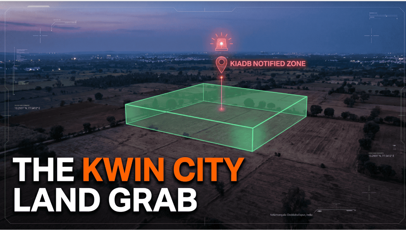
The KIADB Notification Trap
You cannot build a 5,800-acre city out of thin air. The government must acquire the earth.
The Karnataka Industrial Areas Development Board (KIADB) is the primary engine executing the land acquisition Bidadi Nelamangala and Doddaballapur corridors. They are actively pooling thousands of acres in phases.
Here is exactly how novice buyers get slaughtered in this environment: A local broker takes you to a beautiful, raw agricultural plot. The title deed from 2002 is perfectly clean. The Encumbrance Certificate (EC) shows zero active loans. The seller offers you a massive 20% discount if you close the deal entirely in cash this week.
You buy it, thinking you just secured a goldmine right next to the new Toyota facility.
Three months later, you try to apply for a building plan or a DC Conversion. Your application is instantly rejected. Why? Because that exact survey number was quietly included in a KIADB preliminary acquisition notification six months ago.
The Brutal Reality: If a survey number is marked for KIADB acquisition, the land is legally frozen. You cannot develop it. You cannot legally re-sell it on the open market. Eventually, the government will acquire it under eminent domain, and you will be stuck in a decade of bureaucratic warfare fighting for the compensation.
Traditional paper documents (like an EC or a Khata) do not show KIADB preliminary notifications. You must use spatial intelligence tools to overlay the exact geometric polygon of the land against the KIADB master plan boundaries before you write an advance cheque.
Frequently Asked Questions (FAQ)
1. What is KWIN City in Bangalore?
KWIN City (Knowledge, Wellbeing, Innovation, and Research City) is a massive 5,800-acre, ₹48,000 crore mega-project planned between Doddaballapur and Dabaspet. Supported by the Karnataka government, it aims to be a self-sustaining global hub for AI, deep-tech research, top-tier healthcare, and international universities, effectively shifting Bangalore's tech gravity to the Northwest corridor.
2. Why is land acquisition near KWIN City considered risky?
To build a 5,800-acre city, the government (via the KIADB) must aggressively acquire thousands of acres of private agricultural land. If you unknowingly purchase a plot that falls inside a preliminary KIADB acquisition notification, your land becomes legally "frozen." You cannot develop it, obtain a building plan, or easily re-sell it, and it will eventually be seized by the government.
3. Are "Revenue Layouts" near KWIN City safe to buy?
No. Revenue layouts are illegally formed plots made on agricultural land without obtaining an official DC Conversion or BMRDA layout approval. Brokers falsely claim that proximity to KWIN City automatically legalizes these plots. In reality, buying an unapproved revenue layout means you will not get a bank loan, and your property is at high risk of government demolition.
4. Why are investors choosing Nelamangala over Doddaballapur?
While Doddaballapur is the primary host of KWIN City and is currently suffering from heavily inflated, speculative land prices, Nelamangala acts as the strategic gateway. Nelamangala offers direct, high-speed access to both core Bangalore (via Tumkur Road) and KWIN City (via the STRR) but at a more reasonable entry price point with clearer BMRDA zoning history.
5. How do I verify if a plot is safely outside the KWIN City acquisition zone?
You cannot verify this by merely looking at physical Title Deeds or Encumbrance Certificates. You must use an advanced digital spatial platform like TalkingLands Insights. By entering the exact survey number, the tool overlays the official government Master Plan (CDP) and KIADB zones on a satellite map, instantly revealing if the property is legally buildable or trapped in an acquisition buffer.
.png)

.png)


