.png)
If you live anywhere near Rajarajeshwari Nagar (RR Nagar), Nayandahalli, or Nagarabhavi, you already know the daily reality of the Outer Ring Road (ORR). The congestion at the Mysore Road junctions during peak hours is a grueling ordeal.
To solve this, the government is quietly advancing one of the most ambitious—and highly controversial—road infrastructure projects in South-West Bangalore. They are planning to build an entirely new network of 24-meter and 18-meter wide arterial roads running straight along the banks of the Vrishabhavathi River and its connected rajakaluve bangalore (stormwater drains).
When you take the official master plan drawings and drop them directly onto a real-world map, the reality hits you fast. The city is mapping out a massive, 15-kilometer bypass system right under our noses. But you can't thread a giant road network through one of Bangalore's most crowded zones without a massive catch. And that catch is brutal, unavoidable land acquisition.
If you are a buyer looking at properties near RR Nagar, the Global Village Tech Park, or Bangalore University, you need to understand exactly where these buffer zone roads are going. If you accidentally buy a plot that sits on this proposed alignment, your investment will eventually be bulldozed. This guide breaks down the exact route, the hidden risks, and how to perform uncompromising property verification bangalore before you invest.
To understand the risk, you must understand the government's strategy. Acquiring private land in heavily built-up areas like RR Nagar to build a new 80-foot highway is financially impossible for the city.
Instead, urban planners look for land they already control (or have legal rights to restrict). Under environmental laws, primary stormwater drains and rivers require a mandatory setback or "buffer zone" where private construction is prohibited. The government's strategy is to pave over these exact buffer zones to create new transit corridors.
Because the initial plans for the Vrishabhavathi corridor were drafted before the newer tiered buffer rules came into effect, the planners utilized a massive 50-meter buffer zone from the river's center to carve out these 24-meter (approx. 80-foot) road alignments.
The master plan starts aggressively near Nayandahalli and the Mysore Road junction, attempting to pull traffic away from the main signals.
This section of the plan is incredibly intricate, designed to allow commuters to bypass the heavily congested RR Nagar Arch junction completely.
Currently, reaching the Global Village Tech Park from Nayandahalli requires braving the grueling Mysore Road traffic. This master plan introduces a radical shortcut.
The final major leg of this buffer road project attempts to connect the RR Nagar side directly to Nagarabhavi, specifically aiming towards the ORR near Nammoora Tindi.
The Vrishabhavathi buffer zone road project is a massive, highly complex undertaking. If successfully executed, it will drastically reduce congestion on the Outer Ring Road and Mysore Road. However, the path to that decongestion involves slicing through university grounds, tearing down local parks, and inevitably acquiring private property.
If you learn one thing from this 15km master plan overlay, let it be this: you cannot rely on the physical ground reality when buying real estate in Bangalore.
If you visit a plot in RR Nagar today, you might see a quiet, dead-end street next to a muddy river bank. But the digital master plan shows that a 24-meter arterial highway is slated to run right through your future living room. If you are investing in South-West Bangalore, treat the areas surrounding the river and rajakaluve bangalore networks as high-risk zones. Demand the exact survey number, check the digital spatial overlays, and protect your capital before you sign the sale deed.

1. What is a buffer zone road in Bangalore?
A buffer zone road is a proposed infrastructure project built inside the legally restricted setback area (buffer zone) of a lake, river, or primary Rajakaluve (stormwater drain). The government utilizes these restricted, unbuildable corridors to create new traffic bypasses without having to acquire as much expensive private real estate.
2. What is the exact route of the Vrishabhavathi buffer road?
The proposed 15km+ network generally follows the path of the Vrishabhavathi River and its connecting drains. It creates a massive loop starting near Nayandahalli ORR, stretching down towards NICE Road, bypassing the RR Nagar Arch to connect with Global Village Tech Park, and cutting through Bangalore University to end in Nagarabhavi.
3. Will my apartment amenities be demolished if they are in the buffer zone?
Yes, it is highly likely. Permanent construction is strictly prohibited in buffer zones. While some builders temporarily use these areas for open-air parks or sports courts to make the project look appealing, the government can legally reclaim this land at any time to execute master plan projects like these buffer roads.
4. Why is the government building roads over existing houses in Patanagere?
Urban planners map out arterial roads to solve macro-level traffic issues. If existing structures (even multi-story independent houses) fall directly on the finalized master plan alignment for these 18m or 24m roads, they are subject to land acquisition under eminent domain. Owners are compensated at government guidance value, which is often far below market rates.
5. How can I safely verify if my property is affected by this road plan?
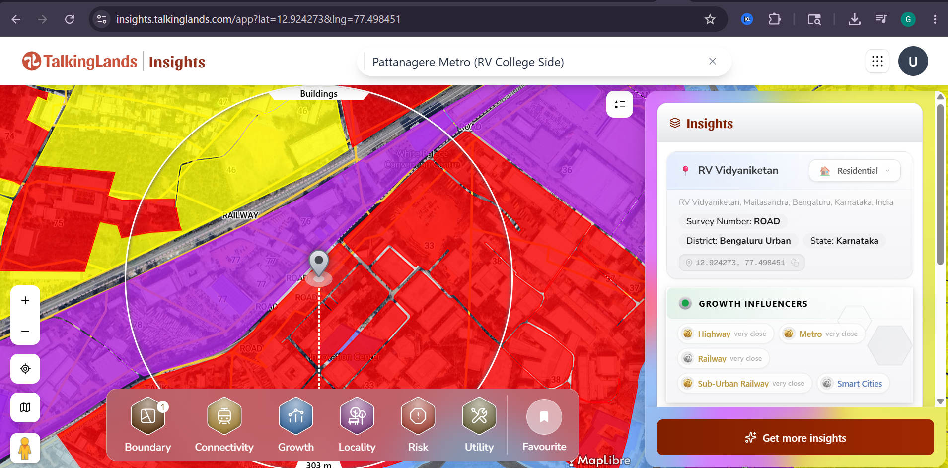
You cannot verify this by looking at the physical roads today, as much of the alignment currently looks like vacant land or dead ends. You must obtain your exact survey number from the seller and use a spatial intelligence tool, like TalkingLands Insights, to digitally overlay your plot against the official BDA master plan and gazette notification alignments.

.png)
%20(1).png)
.png)
