%20(1).png)
It is a scenario repeating itself daily in the villages surrounding Pune. An investor is shown a lucrative plot of agricultural land in Pirangut or Khed Shivapur. The broker demands a steep 40% premium, justifying the cost with a single phrase: "It’s sitting right on the new Pune Ring Road." The investor pays the premium, anticipating massive commercial appreciation.
Months later, they overlay their survey number on an official master plan and discover a devastating reality: the plot isn't near the Ring Road; it is sitting squarely inside the official Right-of-Way (RoW) acquisition corridor. The government will forcibly acquire the land to build the highway, offering statutory compensation rather than the massive commercial development potential the buyer paid for. Alternatively, they find the road's final alignment was shifted, and their "premium" plot is actually four kilometers away from the nearest interchange, sitting in a restricted green zone.
If you are buying real estate on the outskirts of Pune in 2026, the Pune Ring Road is the single greatest catalyst for wealth creation—but it is also the biggest trap for the uninformed.
Before you pay a "ring road premium," you must understand the critical difference between the Inner and Outer rings, which villages are set to boom, and exactly how to digitally verify your plot's position and zoning against the draft PMRDA master plan.
Quick Answer: The "Pune Ring Road" actually refers to two distinct, concentric mega-highways. The Inner Ring Road (~83 km, touching ~44 villages) is managed by PMRDA. The massive Outer Ring Road (~136 km, touching ~83 villages) is managed by MSRDC. Land acquisition for the western outer section is nearing completion (~98%), with target operational dates stretching from late 2026 to 2028 depending on the phase. Before buying land in these corridors, you must independently verify the plot's 7/12 extract (Satbara), its exact distance from the alignment, and its Draft PMRDA DP 2041 zoning.
Currently, all heavy inter-city highway traffic—trucks traveling from Mumbai toward Bengaluru, Solapur, or Hyderabad—is forced to pass through Pune city or navigate its congested immediate peripheries. The resulting gridlock chokes the city's economic growth.
To solve this, the government initiated a massive decongestion strategy. However, buyers are constantly confused because there is not one ring road, but two. They are built by different authorities, serve different radii, and open up entirely different real estate micro-markets.
(Note: Route lengths and village counts fluctuate slightly as final alignments and engineering packages are modified. Always rely on the latest officially gazetted maps for your specific survey number).
.png)
Because of its massive scale, the MSRDC Outer Ring Road is split into two primary geographical packages.
Highway interchanges act as economic magnets. The Ring Road will transform agricultural peripheries into logistics, commercial, and massive residential hubs. Here are the corridors to watch:
The eastern flank is already heavily influenced by the IT explosion in Kharadi. As the Ring Road cuts through the eastern villages, it will open up massive tracts of land for affordable residential townships to house the IT workforce, while simultaneously sparking heavy logistics and warehousing growth along the Solapur and Nagar highway intersections.
This terrain is hillier and historically highly prized for luxury second homes and weekend villas. The Ring Road will slash commute times from the Mumbai-Pune Expressway to the Hinjewadi IT hubs, turning Pirangut into a primary, rather than secondary, residential destination.
Historically disconnected from the northern IT boom, the southern flank will see industrial and logistics expansion as it links the Bengaluru highway traffic directly to the eastern and western corridors without entering Pune city.
Do not buy land simply because it is located in a "Ring Road Village." Navigate these three critical traps:
To separate a genuine wealth-building opportunity from a catastrophic trap, you must execute three layers of verification:
You cannot confirm cadastral boundaries, highway alignments, or Draft PMRDA zoning by standing on an empty plot of land with a broker.
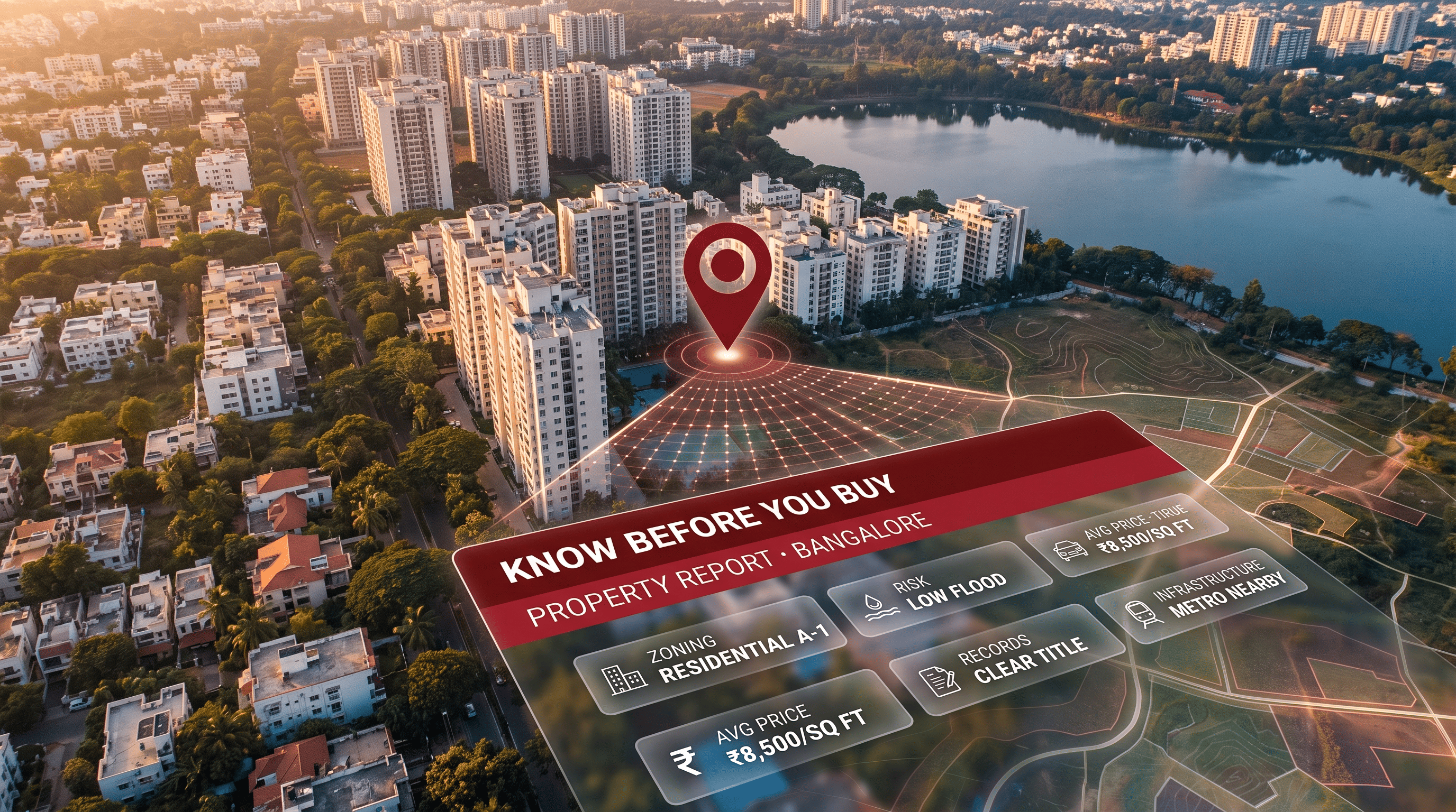
With TalkingLands Insights (Pune), you can execute a flawless digital verification. Drop your Survey/Gat Number onto the platform to visualize the plot on a live satellite map. Activate the Highways Layer to see the exact Ring Road alignment relative to your parcel, check the Draft PMRDA DP 2041 Zoning, and—for covered rural villages—view the Satbara Land Parcel boundary. For the official 7/12 extract containing actual ownership data, you can order it directly from source via Patra.
.png)
The Pune Ring Road is a massive infrastructure initiative designed to decongest city traffic by routing heavy inter-city vehicles around the periphery of Pune and Pimpri-Chinchwad. It actually consists of two concentric projects: the PMRDA-led Inner Ring Road and the larger MSRDC-led Outer Ring Road.
The Inner Ring Road (~83 km) is managed by the Pune Metropolitan Region Development Authority (PMRDA) to connect suburban nodes. The Outer Ring Road (~136 km) is managed by the Maharashtra State Road Development Corporation (MSRDC) and acts as a massive bypass linking major national highways and expressways.
Combined, the rings touch well over 100 villages. Key impact zones include the eastern corridors (Wagholi, Uruli Kanchan), the western stretches (Pirangut, Bhugaon, Mulshi), and southern nodes connecting Khed Shivapur and Katraj.
The MSRDC Outer Ring Road is being built in phases. Land acquisition for the western stretch is largely complete, with targeted operational dates stretching between late 2026 to mid-2027. The eastern stretch is expected to follow around 2028. All dates are subject to engineering and acquisition realities.
Yes, but only if executed safely. Properties located near upcoming highway interchanges (but safely outside the statutory acquisition right-of-way) are highly lucrative for logistics, commercial, and residential development. However, the land must also be favorably zoned under the Draft PMRDA DP 2041 to realize this value.
You must execute a spatial verification. By entering the exact Survey/Gat Number into an intelligence platform like TalkingLands Insights, you can overlay the plot's cadastral boundary directly against the gazetted highway alignment and Draft PMRDA zoning maps to ensure it is safe and buildable.



.png)
.png)
